
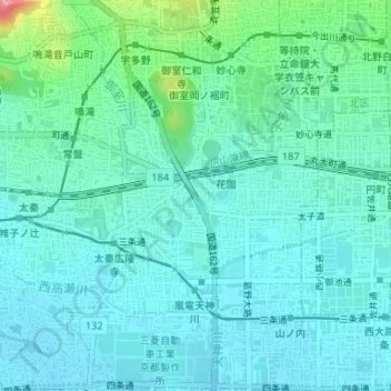
御室川 topographic map
Interactive map
Click on the map to display elevation.
About this map
Name: 御室川 topographic map, elevation, terrain.
Location: 御室川, 常盤森町, 右京区, 京都市, 京都府, 616-8073, 日本 (35.01505 135.71391 35.01850 135.71628)
Average elevation: 49 m
Minimum elevation: 28 m
Maximum elevation: 141 m
Other topographic maps
Click on a map to view its topography, its elevation and its terrain.