
昭憲皇太后陵 topographic map
Interactive map
Click on the map to display elevation.
About this map
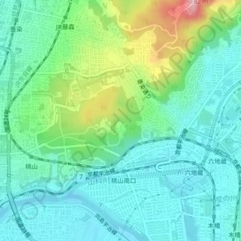
Name: 昭憲皇太后陵 topographic map, elevation, terrain.
Location: 昭憲皇太后陵, 墨染通り, 深草大亀谷東安信町, 伏見区, 京都市, 京都府, 612-8007, 日本 (34.93665 135.78316 34.93683 135.78338)
Average elevation: 50 m
Minimum elevation: 6 m
Maximum elevation: 174 m
Other topographic maps
Click on a map to view its topography, its elevation and its terrain.