
土居之内町 topographic map
Interactive map
Click on the map to display elevation.
About this map
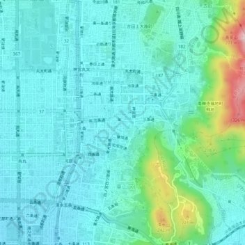
Name: 土居之内町 topographic map, elevation, terrain.
Location: 土居之内町, 東山区, 京都市, 京都府, 605-0017, 日本 (34.98894 135.76043 35.02894 135.80043)
Average elevation: 86 m
Minimum elevation: 30 m
Maximum elevation: 338 m