
西京区 topographic map
Interactive map
Click on the map to display elevation.
About this map
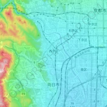
Name: 西京区 topographic map, elevation, terrain.
Location: 西京区, 京都市, 京都府, 日本 (34.92726 135.59931 35.03060 135.72211)
Average elevation: 91 m
Minimum elevation: 10 m
Maximum elevation: 597 m
Other topographic maps
Click on a map to view its topography, its elevation and its terrain.