
中京区 topographic map
Interactive map
Click on the map to display elevation.
About this map
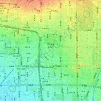
Name: 中京区 topographic map, elevation, terrain.
Location: 中京区, 京都市, 京都府, 日本 (34.99640 135.72403 35.02263 135.77183)
Average elevation: 45 m
Minimum elevation: 23 m
Maximum elevation: 72 m
Other topographic maps
Click on a map to view its topography, its elevation and its terrain.