
西京極総合運動公園 topographic map
Interactive map
Click on the map to display elevation.
About this map
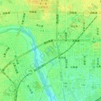
Name: 西京極総合運動公園 topographic map, elevation, terrain.
Location: 西京極総合運動公園, 右京区, 京都市, 京都府, 日本 (34.99063 135.71210 34.99602 135.71708)
Average elevation: 27 m
Minimum elevation: 15 m
Maximum elevation: 37 m
Other topographic maps
Click on a map to view its topography, its elevation and its terrain.