
北区 topographic map
Interactive map
Click on the map to display elevation.
About this map
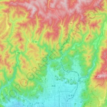
Name: 北区 topographic map, elevation, terrain.
Location: 北区, 京都市, 京都府, 日本 (35.02226 135.64697 35.17151 135.77255)
Average elevation: 376 m
Minimum elevation: 41 m
Maximum elevation: 875 m
Other topographic maps
Click on a map to view its topography, its elevation and its terrain.