
豊平川 topographic map
Interactive map
Click on the map to display elevation.
About this map
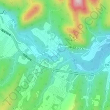
Name: 豊平川 topographic map, elevation, terrain.
Location: 豊平川, 南区, 札幌市, 石狩振興局, 北海道, 061-2273, 日本 (42.95925 141.23086 42.96167 141.23806)
Average elevation: 269 m
Minimum elevation: 165 m
Maximum elevation: 544 m
Other topographic maps
Click on a map to view its topography, its elevation and its terrain.