
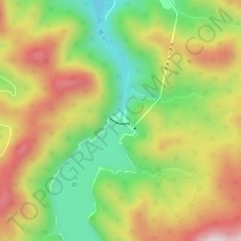
豊平峡ダム topographic map
Interactive map
Click on the map to display elevation.
About this map
Name: 豊平峡ダム topographic map, elevation, terrain.
Location: 豊平峡ダム, 定山渓, 南区, 札幌市, 石狩振興局, 北海道, 061-2302, 日本 (42.91558 141.15207 42.91626 141.15519)
Average elevation: 598 m
Minimum elevation: 359 m
Maximum elevation: 862 m
Other topographic maps
Click on a map to view its topography, its elevation and its terrain.