
豊平区 topographic map
Interactive map
Click on the map to display elevation.
About this map
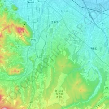
Name: 豊平区 topographic map, elevation, terrain.
Location: 豊平区, 札幌市, 石狩振興局, 北海道, 日本 (42.92634 141.35243 43.05765 141.43413)
Average elevation: 130 m
Minimum elevation: 8 m
Maximum elevation: 593 m
Other topographic maps
Click on a map to view its topography, its elevation and its terrain.