
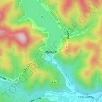
定山渓ダム topographic map
Interactive map
Click on the map to display elevation.
About this map
Name: 定山渓ダム topographic map, elevation, terrain.
Location: 定山渓ダム, 札幌市, 石狩振興局, 北海道, 061-2303, 日本 (42.98491 141.15736 42.98501 141.15746)
Average elevation: 441 m
Minimum elevation: 254 m
Maximum elevation: 727 m
Other topographic maps
Click on a map to view its topography, its elevation and its terrain.