
小樽内川 topographic map
Interactive map
Click on the map to display elevation.
About this map
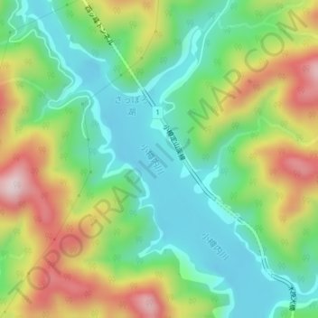
Name: 小樽内川 topographic map, elevation, terrain.
Location: 小樽内川, 南区, 札幌市, 石狩振興局, 北海道, 061-2303, 日本 (42.99802 141.14464 43.00423 141.14984)
Average elevation: 502 m
Minimum elevation: 356 m
Maximum elevation: 748 m
Other topographic maps
Click on a map to view its topography, its elevation and its terrain.