
定山湖 topographic map
Interactive map
Click on the map to display elevation.
About this map
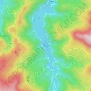
Name: 定山湖 topographic map, elevation, terrain.
Location: 定山湖, 札幌市, 石狩振興局, 北海道, 日本 (42.87862 141.14304 42.91616 141.15814)
Average elevation: 648 m
Minimum elevation: 440 m
Maximum elevation: 963 m
Other topographic maps
Click on a map to view its topography, its elevation and its terrain.