
朝里岳 topographic map
Interactive map
Click on the map to display elevation.
About this map
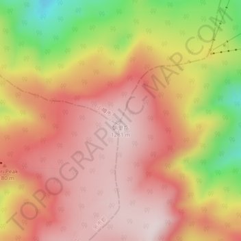
Name: 朝里岳 topographic map, elevation, terrain.
Location: 朝里岳, 札幌市, 石狩振興局, 北海道, 日本 (43.06131 141.04513 43.06141 141.04523)
Average elevation: 1,120 m
Minimum elevation: 820 m
Maximum elevation: 1,286 m
Other topographic maps
Click on a map to view its topography, its elevation and its terrain.