
モエレ沼 topographic map
Interactive map
Click on the map to display elevation.
About this map
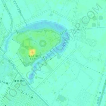
Name: モエレ沼 topographic map, elevation, terrain.
Location: モエレ沼, 東区, 札幌市, 石狩振興局, 北海道, 日本 (43.11388 141.41622 43.13005 141.43858)
Average elevation: 6 m
Minimum elevation: -2 m
Maximum elevation: 23 m
Other topographic maps
Click on a map to view its topography, its elevation and its terrain.