
北23条くれない公園 topographic map
Interactive map
Click on the map to display elevation.
About this map
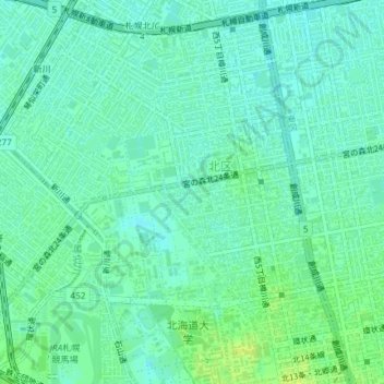
Name: 北23条くれない公園 topographic map, elevation, terrain.
Location: 北23条くれない公園, 北23条西8, 北区, 札幌市, 石狩振興局, 北海道, 日本 (43.08863 141.33810 43.08887 141.33834)
Average elevation: 13 m
Minimum elevation: 7 m
Maximum elevation: 21 m
Other topographic maps
Click on a map to view its topography, its elevation and its terrain.