
豊滝1 topographic map
Interactive map
Click on the map to display elevation.
About this map
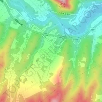
Name: 豊滝1 topographic map, elevation, terrain.
Location: 豊滝1, 豊滝, 南区, 札幌市, 石狩振興局, 北海道, 日本 (42.95007 141.23542 42.95455 141.23911)
Average elevation: 270 m
Minimum elevation: 164 m
Maximum elevation: 443 m
Other topographic maps
Click on a map to view its topography, its elevation and its terrain.