
長崎市 topographic map
Interactive map
Click on the map to display elevation.
About this map
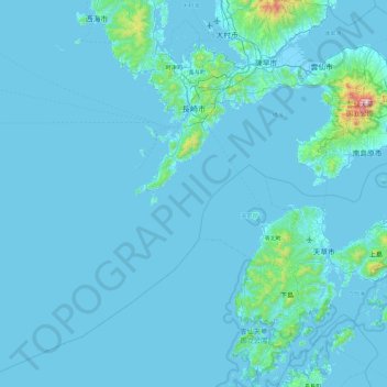
Name: 長崎市 topographic map, elevation, terrain.
Location: 長崎市, 長崎県, 850-8685, 日本 (32.17990 129.31848 32.96858 130.02994)
Average elevation: 44 m
Minimum elevation: -4 m
Maximum elevation: 1,417 m
Other topographic maps
Click on a map to view its topography, its elevation and its terrain.