
田代池 topographic map
Interactive map
Click on the map to display elevation.
About this map
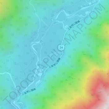
Name: 田代池 topographic map, elevation, terrain.
Location: 田代池, 松本市, 長野県, 日本 (36.23573 137.62455 36.23589 137.62485)
Average elevation: 1,713 m
Minimum elevation: 1,476 m
Maximum elevation: 2,604 m
Other topographic maps
Click on a map to view its topography, its elevation and its terrain.