
水殿ダム topographic map
Interactive map
Click on the map to display elevation.
About this map
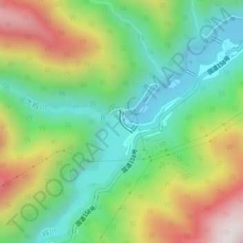
Name: 水殿ダム topographic map, elevation, terrain.
Location: 水殿ダム, 松本市, 長野県, 日本 (36.15327 137.74732 36.15568 137.74982)
Average elevation: 1,090 m
Minimum elevation: 782 m
Maximum elevation: 1,604 m
Other topographic maps
Click on a map to view its topography, its elevation and its terrain.