
前穂高岳 topographic map
Interactive map
Click on the map to display elevation.
About this map
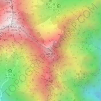
Name: 前穂高岳 topographic map, elevation, terrain.
Location: 前穂高岳, 松本市, 長野県, 日本 (36.28197 137.66054 36.28207 137.66064)
Average elevation: 2,507 m
Minimum elevation: 1,719 m
Maximum elevation: 3,185 m
Other topographic maps
Click on a map to view its topography, its elevation and its terrain.