
明神岳 topographic map
Interactive map
Click on the map to display elevation.
About this map
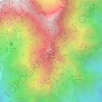
Name: 明神岳 topographic map, elevation, terrain.
Location: 明神岳, 松本市, 長野県, 日本 (36.27464 137.66022 36.27474 137.66032)
Average elevation: 2,381 m
Minimum elevation: 1,646 m
Maximum elevation: 3,125 m
Other topographic maps
Click on a map to view its topography, its elevation and its terrain.