
美鈴湖 topographic map
Interactive map
Click on the map to display elevation.
About this map
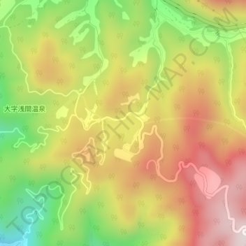
Name: 美鈴湖 topographic map, elevation, terrain.
Location: 美鈴湖, 松本市, 長野県, 380-0833, 日本 (36.26241 138.01287 36.26313 138.01752)
Average elevation: 974 m
Minimum elevation: 636 m
Maximum elevation: 1,275 m
Other topographic maps
Click on a map to view its topography, its elevation and its terrain.