
蝶ヶ岳 topographic map
Interactive map
Click on the map to display elevation.
About this map
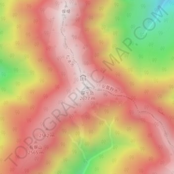
Name: 蝶ヶ岳 topographic map, elevation, terrain.
Location: 蝶ヶ岳, 松本市, 長野県, 日本 (36.28738 137.72601 36.28748 137.72611)
Average elevation: 2,324 m
Minimum elevation: 1,710 m
Maximum elevation: 2,664 m
Other topographic maps
Click on a map to view its topography, its elevation and its terrain.