
南原(弥生町) topographic map
Interactive map
Click on the map to display elevation.
About this map
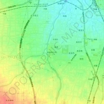
Name: 南原(弥生町) topographic map, elevation, terrain.
Location: 南原(弥生町), 松本市, 長野県, 中部地方, 390-0833, 日本 (36.18933 137.92496 36.22933 137.96496)
Average elevation: 601 m
Minimum elevation: 579 m
Maximum elevation: 628 m
Other topographic maps
Click on a map to view its topography, its elevation and its terrain.