
北区 topographic map
Interactive map
Click on the map to display elevation.
About this map
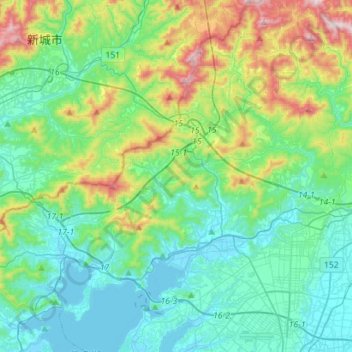
Name: 北区 topographic map, elevation, terrain.
Location: 北区, 浜松市, 静岡県, 中部地方, 日本 (34.74052 137.48685 34.97195 137.76208)
Average elevation: 163 m
Minimum elevation: -4 m
Maximum elevation: 697 m
Other topographic maps
Click on a map to view its topography, its elevation and its terrain.