
東区 topographic map
Interactive map
Click on the map to display elevation.
About this map
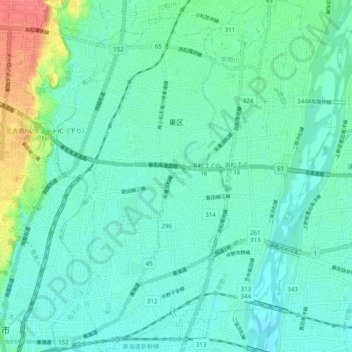
Name: 東区 topographic map, elevation, terrain.
Location: 東区, 浜松市, 静岡県, 中部地方, 日本 (34.70579 137.73246 34.78641 137.82268)
Average elevation: 16 m
Minimum elevation: 1 m
Maximum elevation: 70 m
Other topographic maps
Click on a map to view its topography, its elevation and its terrain.