
水窪湖 topographic map
Interactive map
Click on the map to display elevation.
About this map
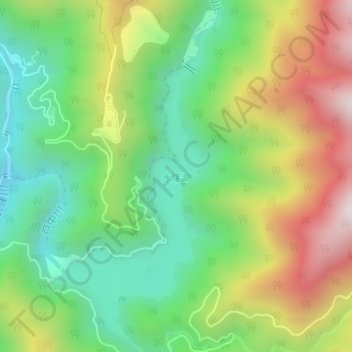
Name: 水窪湖 topographic map, elevation, terrain.
Location: 水窪湖, 天竜区, 浜松市, 静岡県, 日本 (35.17902 137.93061 35.20495 137.94639)
Average elevation: 712 m
Minimum elevation: 362 m
Maximum elevation: 1,240 m
Other topographic maps
Click on a map to view its topography, its elevation and its terrain.