
前黒法師山 topographic map
Interactive map
Click on the map to display elevation.
About this map
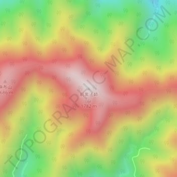
Name: 前黒法師山 topographic map, elevation, terrain.
Location: 前黒法師山, 浜松市, 静岡県, 日本 (35.19469 137.98550 35.19479 137.98560)
Average elevation: 1,344 m
Minimum elevation: 860 m
Maximum elevation: 1,759 m
Other topographic maps
Click on a map to view its topography, its elevation and its terrain.