
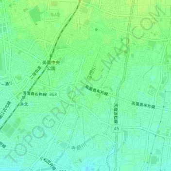
高畑川 topographic map
Interactive map
Click on the map to display elevation.
About this map
Name: 高畑川 topographic map, elevation, terrain.
Location: 高畑川, 高畑, 浜北区, 浜松市, 静岡県, 434-8502, 日本 (34.79309 137.79611 34.79320 137.79619)
Average elevation: 21 m
Minimum elevation: 15 m
Maximum elevation: 26 m
Other topographic maps
Click on a map to view its topography, its elevation and its terrain.