
都田川 topographic map
Interactive map
Click on the map to display elevation.
About this map
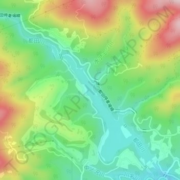
Name: 都田川 topographic map, elevation, terrain.
Location: 都田川, 北区, 浜松市, 静岡県, 日本 (34.88713 137.71353 34.88806 137.71407)
Average elevation: 203 m
Minimum elevation: 69 m
Maximum elevation: 417 m
Other topographic maps
Click on a map to view its topography, its elevation and its terrain.