
天竜区 topographic map
Interactive map
Click on the map to display elevation.
About this map
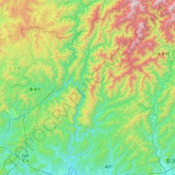
Name: 天竜区 topographic map, elevation, terrain.
Location: 天竜区, 浜松市, 静岡県, 日本 (34.84025 137.69984 35.30440 138.05870)
Average elevation: 638 m
Minimum elevation: 26 m
Maximum elevation: 2,291 m
Other topographic maps
Click on a map to view its topography, its elevation and its terrain.