
船明ダム topographic map
Interactive map
Click on the map to display elevation.
About this map
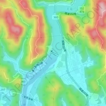
Name: 船明ダム topographic map, elevation, terrain.
Location: 船明ダム, 日明, 天竜区, 浜松市, 静岡県, 日本 (34.89030 137.81051 34.89179 137.81319)
Average elevation: 120 m
Minimum elevation: 33 m
Maximum elevation: 285 m
Other topographic maps
Click on a map to view its topography, its elevation and its terrain.