
芳川公園 topographic map
Interactive map
Click on the map to display elevation.
About this map
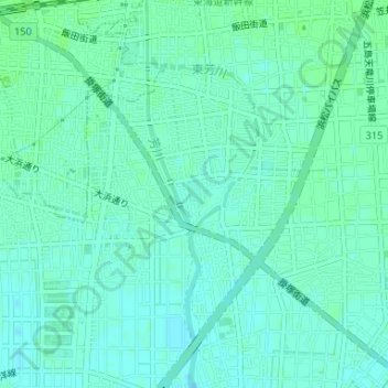
Name: 芳川公園 topographic map, elevation, terrain.
Location: 芳川公園, 本郷町, 南区, 浜松市, 静岡県, 中部地方, 日本 (34.69338 137.76311 34.69564 137.76519)
Average elevation: 5 m
Minimum elevation: 1 m
Maximum elevation: 9 m
Other topographic maps
Click on a map to view its topography, its elevation and its terrain.