
八幡川 topographic map
Interactive map
Click on the map to display elevation.
About this map
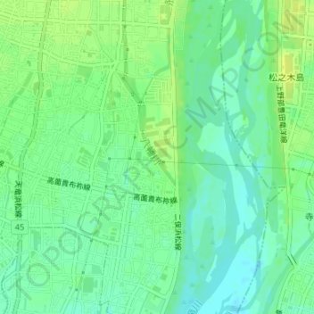
Name: 八幡川 topographic map, elevation, terrain.
Location: 八幡川, 新堀, 浜北区, 浜松市, 静岡県, 434-0023, 日本 (34.79009 137.81500 34.79472 137.81845)
Average elevation: 21 m
Minimum elevation: 12 m
Maximum elevation: 29 m
Other topographic maps
Click on a map to view its topography, its elevation and its terrain.