
秋葉ダム topographic map
Interactive map
Click on the map to display elevation.
About this map
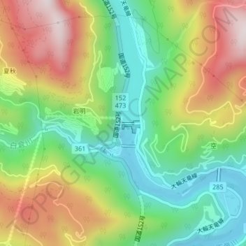
Name: 秋葉ダム topographic map, elevation, terrain.
Location: 秋葉ダム, 浜松市, 静岡県, 日本 (34.97238 137.82730 34.97248 137.82740)
Average elevation: 326 m
Minimum elevation: 64 m
Maximum elevation: 687 m
Other topographic maps
Click on a map to view its topography, its elevation and its terrain.