
船明ダム湖 topographic map
Interactive map
Click on the map to display elevation.
About this map
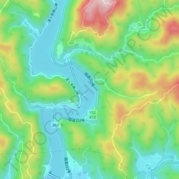
Name: 船明ダム湖 topographic map, elevation, terrain.
Location: 船明ダム湖, 浜松市, 静岡県, 日本 (34.89042 137.80657 34.92287 137.82140)
Average elevation: 166 m
Minimum elevation: 48 m
Maximum elevation: 390 m
Other topographic maps
Click on a map to view its topography, its elevation and its terrain.