
戸田川緑地 topographic map
Interactive map
Click on the map to display elevation.
About this map
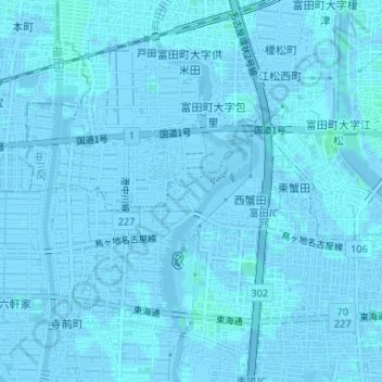
Name: 戸田川緑地 topographic map, elevation, terrain.
Location: 戸田川緑地, 港区, 名古屋市, 愛知県, 日本 (35.11320 136.81010 35.13075 136.81783)
Average elevation: 0 m
Minimum elevation: -6 m
Maximum elevation: 3 m
Other topographic maps
Click on a map to view its topography, its elevation and its terrain.