
戸田川 topographic map
Interactive map
Click on the map to display elevation.
About this map
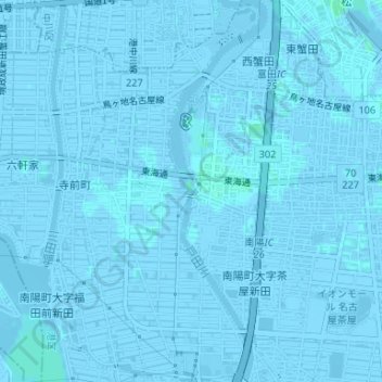
Name: 戸田川 topographic map, elevation, terrain.
Location: 戸田川, 大西二丁目, 港区, 名古屋市, 愛知県, 455-0861, 日本 (35.11181 136.81072 35.11254 136.81091)
Average elevation: -1 m
Minimum elevation: -6 m
Maximum elevation: 3 m
Other topographic maps
Click on a map to view its topography, its elevation and its terrain.