
北区 topographic map
Interactive map
Click on the map to display elevation.
About this map
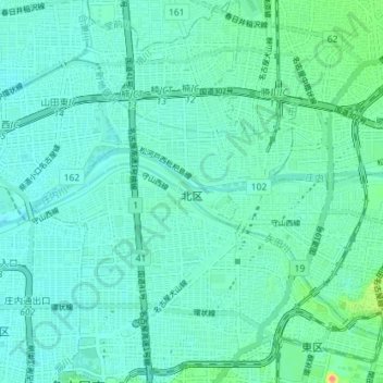
Name: 北区 topographic map, elevation, terrain.
Location: 北区, 名古屋市, 愛知県, 日本 (35.18534 136.89109 35.24368 136.94385)
Average elevation: 12 m
Minimum elevation: 2 m
Maximum elevation: 57 m
Other topographic maps
Click on a map to view its topography, its elevation and its terrain.