
香流川 topographic map
Interactive map
Click on the map to display elevation.
About this map
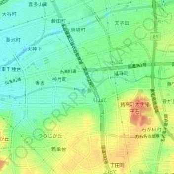
Name: 香流川 topographic map, elevation, terrain.
Location: 香流川, 名東区, 名古屋市, 愛知県, 中部地方, 日本 (35.18735 136.98505 35.19082 137.01263)
Average elevation: 44 m
Minimum elevation: 24 m
Maximum elevation: 71 m
Other topographic maps
Click on a map to view its topography, its elevation and its terrain.