
瑞穂区 topographic map
Interactive map
Click on the map to display elevation.
About this map
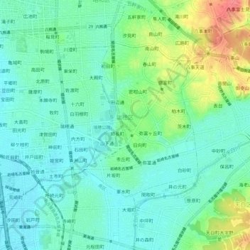
Name: 瑞穂区 topographic map, elevation, terrain.
Location: 瑞穂区, 名古屋市, 愛知県, 中部地方, 日本 (35.10925 136.91144 35.14056 136.96219)
Average elevation: 21 m
Minimum elevation: 0 m
Maximum elevation: 74 m
Other topographic maps
Click on a map to view its topography, its elevation and its terrain.