
湖山池 topographic map
Interactive map
Click on the map to display elevation.
About this map
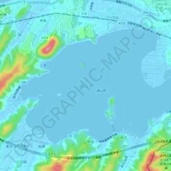
Name: 湖山池 topographic map, elevation, terrain.
Location: 湖山池, 鳥取市, 鳥取県, 日本 (35.49559 134.12803 35.52151 134.17486)
Average elevation: 10 m
Minimum elevation: -9 m
Maximum elevation: 107 m
Other topographic maps
Click on a map to view its topography, its elevation and its terrain.