
因幡万葉湖 topographic map
Interactive map
Click on the map to display elevation.
About this map
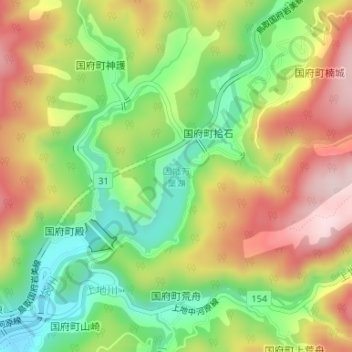
Name: 因幡万葉湖 topographic map, elevation, terrain.
Location: 因幡万葉湖, 鳥取市, 鳥取県, 日本 (35.44771 134.34022 35.45958 134.35558)
Average elevation: 273 m
Minimum elevation: 120 m
Maximum elevation: 447 m
Other topographic maps
Click on a map to view its topography, its elevation and its terrain.