
面影 topographic map
Interactive map
Click on the map to display elevation.
About this map
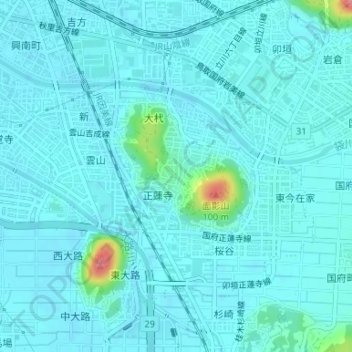
Name: 面影 topographic map, elevation, terrain.
Location: 面影, 鳥取市, 鳥取県, 日本 (35.46743 134.23246 35.48611 134.25840)
Average elevation: 13 m
Minimum elevation: 3 m
Maximum elevation: 93 m
Other topographic maps
Click on a map to view its topography, its elevation and its terrain.