
飯盛山 topographic map
Interactive map
Click on the map to display elevation.
About this map
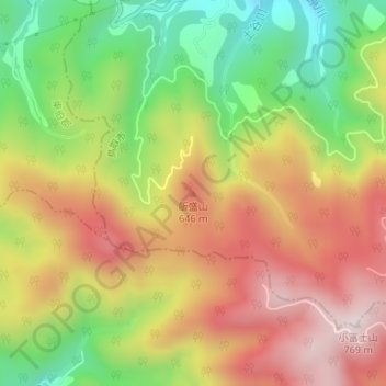
Name: 飯盛山 topographic map, elevation, terrain.
Location: 飯盛山, 鳥取市, 鳥取県, 6890526, 日本 (35.43142 133.95850 35.43152 133.95860)
Average elevation: 478 m
Minimum elevation: 184 m
Maximum elevation: 758 m
Other topographic maps
Click on a map to view its topography, its elevation and its terrain.