
衣笠山 topographic map
Interactive map
Click on the map to display elevation.
About this map
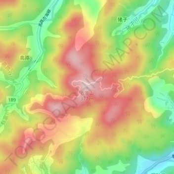
Name: 衣笠山 topographic map, elevation, terrain.
Location: 衣笠山, 鳥取市, 鳥取県, 680-1173, 日本 (35.43274 134.16714 35.43284 134.16724)
Average elevation: 199 m
Minimum elevation: 40 m
Maximum elevation: 344 m
Other topographic maps
Click on a map to view its topography, its elevation and its terrain.