
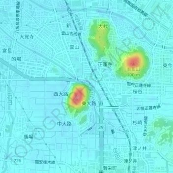
大路川 topographic map
Interactive map
Click on the map to display elevation.
About this map
Name: 大路川 topographic map, elevation, terrain.
Location: 大路川, 正蓮寺, 面影, 鳥取市, 鳥取県, 6800862, 日本 (35.47063 134.23835 35.47302 134.24133)
Average elevation: 12 m
Minimum elevation: 3 m
Maximum elevation: 92 m
Other topographic maps
Click on a map to view its topography, its elevation and its terrain.