
佐治川 topographic map
Interactive map
Click on the map to display elevation.
About this map
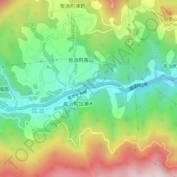
Name: 佐治川 topographic map, elevation, terrain.
Location: 佐治川, 佐治, 鳥取市, 鳥取県, 6891313, 日本 (35.33206 134.12081 35.33332 134.12798)
Average elevation: 380 m
Minimum elevation: 157 m
Maximum elevation: 717 m
Other topographic maps
Click on a map to view its topography, its elevation and its terrain.