
久賀湾 topographic map
Interactive map
Click on the map to display elevation.
About this map
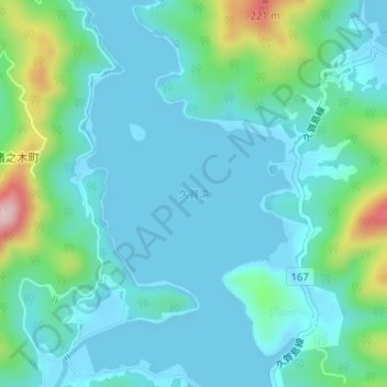
Name: 久賀湾 topographic map, elevation, terrain.
Location: 久賀湾, 五島市, 長崎県, 日本 (32.81433 128.87078 32.81443 128.87088)
Average elevation: 44 m
Minimum elevation: -1 m
Maximum elevation: 236 m
Other topographic maps
Click on a map to view its topography, its elevation and its terrain.